



Herriman’s trail map is a useful first stop before a foothill outing
The city distinguishes its maintained interactive map from outside trail listings and offers a route into organized stewardship.

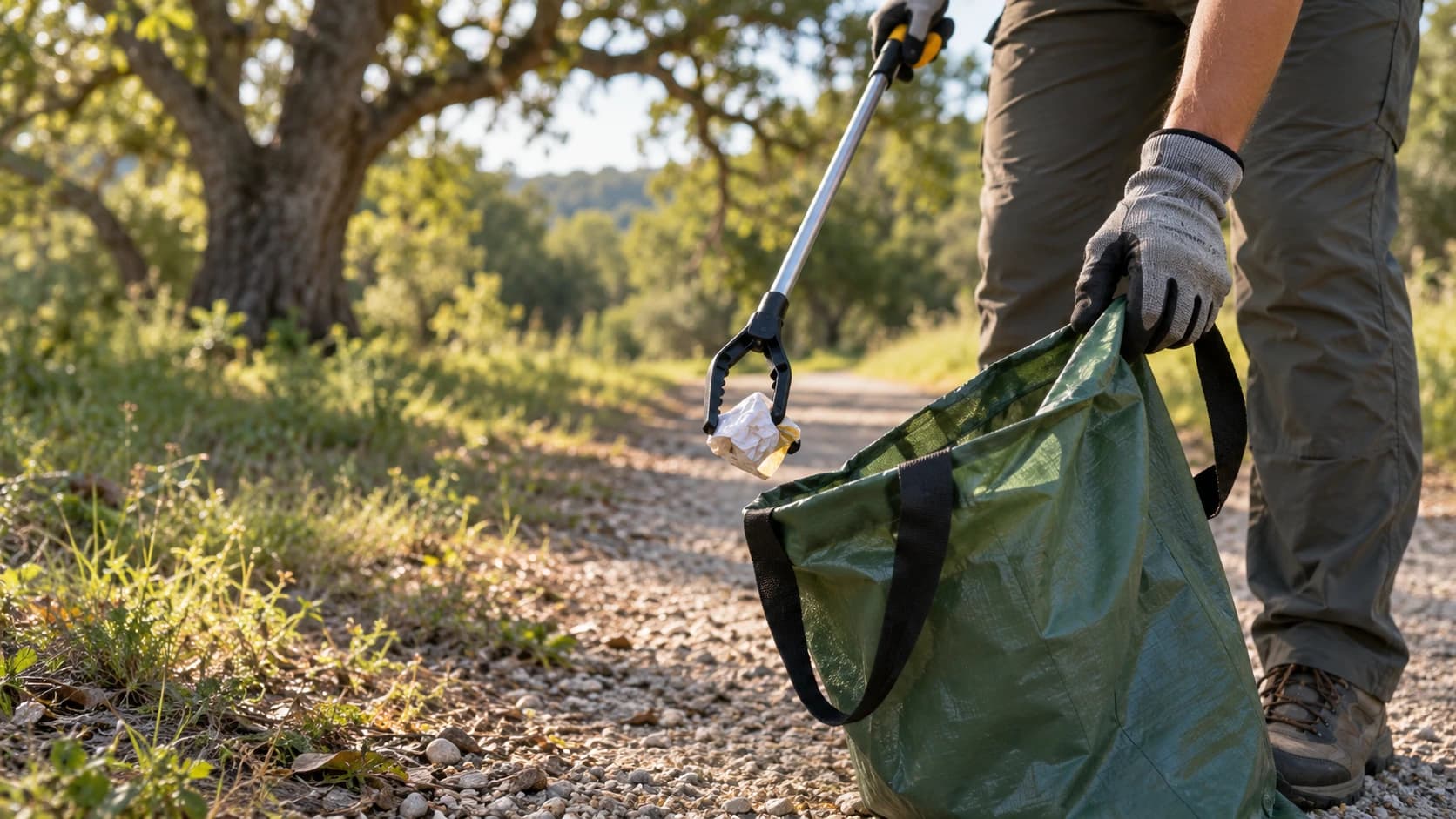
Image: AI-generated illustrative photograph of an anonymous Utah foothill path; not a mapped Herriman trail, approved alignment or representation of today’s conditions.
The same hills can offer very different outings depending on the route. Herriman’s trail resources cover paved paths and primitive trails used by walkers, riders and equestrians, so the first decision should be what kind of day your group wants.
Start with the city’s interactive trails map linked from its trail page. Herriman says its own maps are updated regularly and notes that the separate Trailforks map is not monitored by the city. Use current notices and posted signs alongside any route found online, especially when conditions or access have changed.
Sponsored
Choose an appropriate surface and turnaround, stay on the established trail and give other users room. The city’s guidance emphasizes controlled riding, leashed dogs and avoiding shortcuts that cause erosion. A modest route with time to pause can be a better fit than a distance chosen only because it looks short on a screen.
For residents who want to help care for the system, the page also links a volunteer project form. Submit an interest and coordinate with staff before undertaking trail work. Knowing a place through both recreation and stewardship can reveal the patient maintenance behind an ordinary afternoon outside.




Discuss this news
Your draft stays here while you sign in. Be respectful and keep it local.
No comments yet.